
The Edwards Aquifer is not just a geological curiosity — it is the single most important physical factor affecting property values, buildability, and long-term livability across the Texas Hill Country. For buyers relocating from municipal-water markets, the learning curve starts here.
What the Edwards Aquifer actually is
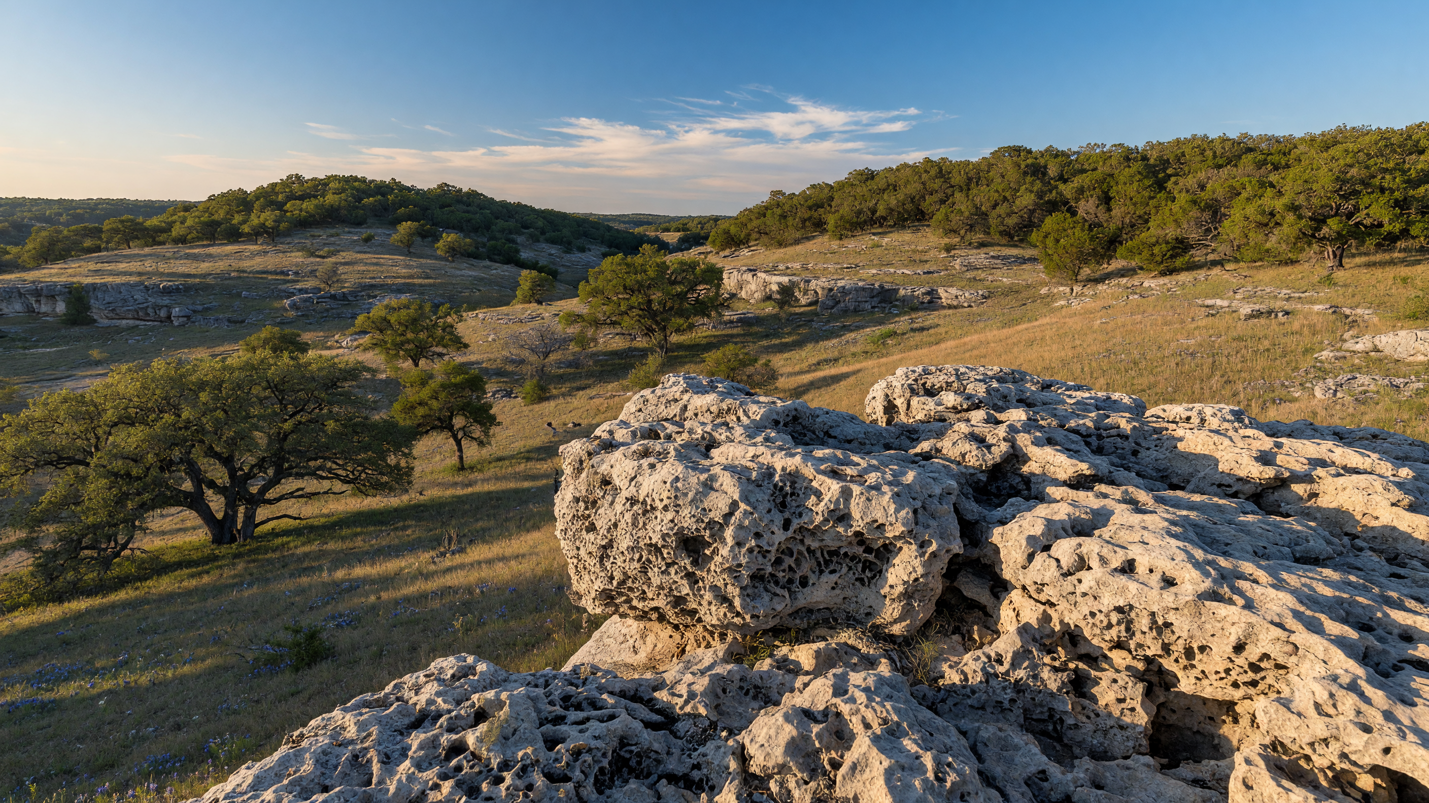
The Edwards Aquifer is a karst limestone aquifer stretching approximately 180 miles across Central Texas, from Brackettville in the west to near Austin in the northeast. It stores water in a honeycomb of porous limestone — dissolved passages, fractures, and caverns — not in a uniform underground lake. This matters because well performance can vary dramatically between two properties a quarter-mile apart.
The aquifer is divided into three segments: the San Antonio segment (the most productive, underlying Bexar, Medina, and portions of Kendall County), the Barton Springs segment (Austin area), and the northern segment. The Boerne and Fair Oaks Ranch areas sit predominantly over the catchment and contributing zones of the San Antonio segment.
Well depth and flow rate: the two numbers that matter
When evaluating a property, you need two data points from the well log: total depth and tested flow rate in gallons per minute (GPM). In Kendall County, residential wells typically range from 300 to 800 feet deep, with flow rates between 5 and 40 GPM.
A 5 GPM well can support a single-family household with conservative water management. A 10 GPM well provides comfortable margin. Below 3 GPM, you are looking at supplemental storage tanks and careful usage planning.
Ask the seller for the Texas Department of Licensing and Regulation (TDLR) well report. If they cannot produce it, order a flow test and water quality panel before the option period expires. These tests typically cost $400 to $800 — inexpensive compared to the cost of discovering an underperforming well after closing.
The drought reality
Edwards Aquifer levels fluctuate seasonally and cyclically. During drought conditions — which recur on roughly 7- to 10-year cycles in this region — the aquifer can drop 30 to 50 feet or more. Wells that perform adequately in wet years may slow to a trickle in drought years. J-17, the index well in Bexar County monitored daily by the Edwards Aquifer Authority, provides the reference level. When J-17 drops below 660 feet above mean sea level, Stage 1 pumping restrictions begin; below 640 feet triggers Stage 2.
Check the current J-17 level at the Edwards Aquifer Authority website before making an offer. Factor it into your evaluation — a well that tested at 15 GPM when the aquifer was at 680 feet may produce 5 GPM when it drops to 640 feet.
Water quality considerations
Edwards Aquifer water is generally high-quality, but localized contamination can occur — particularly nitrate from septic systems, agricultural runoff, and naturally occurring hydrogen sulfide (the "rotten egg" smell common in some Hill Country wells). A standard water quality panel should test for coliform bacteria, nitrates, pH, total dissolved solids, hardness, and any contaminants of local concern. Budget $300 to $500 for a comprehensive test and factor any required treatment systems into your purchase decision.
Bottom line
Water is the Hill Country's limiting resource. The Edwards Aquifer is a productive but finite system. Understand it before you buy, and you will make a better decision — not just on this property, but on whether this property is right for you at all.
Published June 10, 2026
Updated June 27, 2026