
Enjoy this guide? Make HillCountryHomesteads.com a preferred source in your Google AI searches.
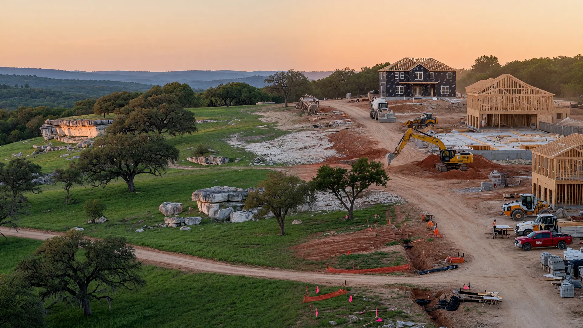
Growth Pressure, New Development, and Infrastructure Strain
What ongoing growth along the I-10 corridor means for existing home values in Boerne, Fair Oaks Ranch, and the surrounding Hill Country.
If you live in Boerne, Fair Oaks Ranch, or along the I-10 corridor between San Antonio and the Hill Country, you have felt the growth directly: more traffic, more construction, new subdivisions, and changing commercial corridors. The U.S. Census Bureau estimates that Boerne reached 24,047 residents in 2025, up from 10,471 in 2010. Kendall County reached an estimated 53,289 residents in 2025, up 20.3% from its April 2020 population-estimates base. The growth is real. So is the pressure it places on roads, water systems, schools, and nearby land uses. The effect on an individual home's value, however, is not automatic.
I live in Fair Oaks Ranch and drive this corridor constantly. Before moving here, I spent decades in Silicon Valley and saw what happens when population and economic growth outrun roads and housing. The lesson is straightforward: growth is not automatically good for every property. Better access can add value. Noise, congestion, water uncertainty, new commercial entrances, and direct competition from new construction can subtract from it. The correct unit of analysis is the individual property, not the county growth rate.
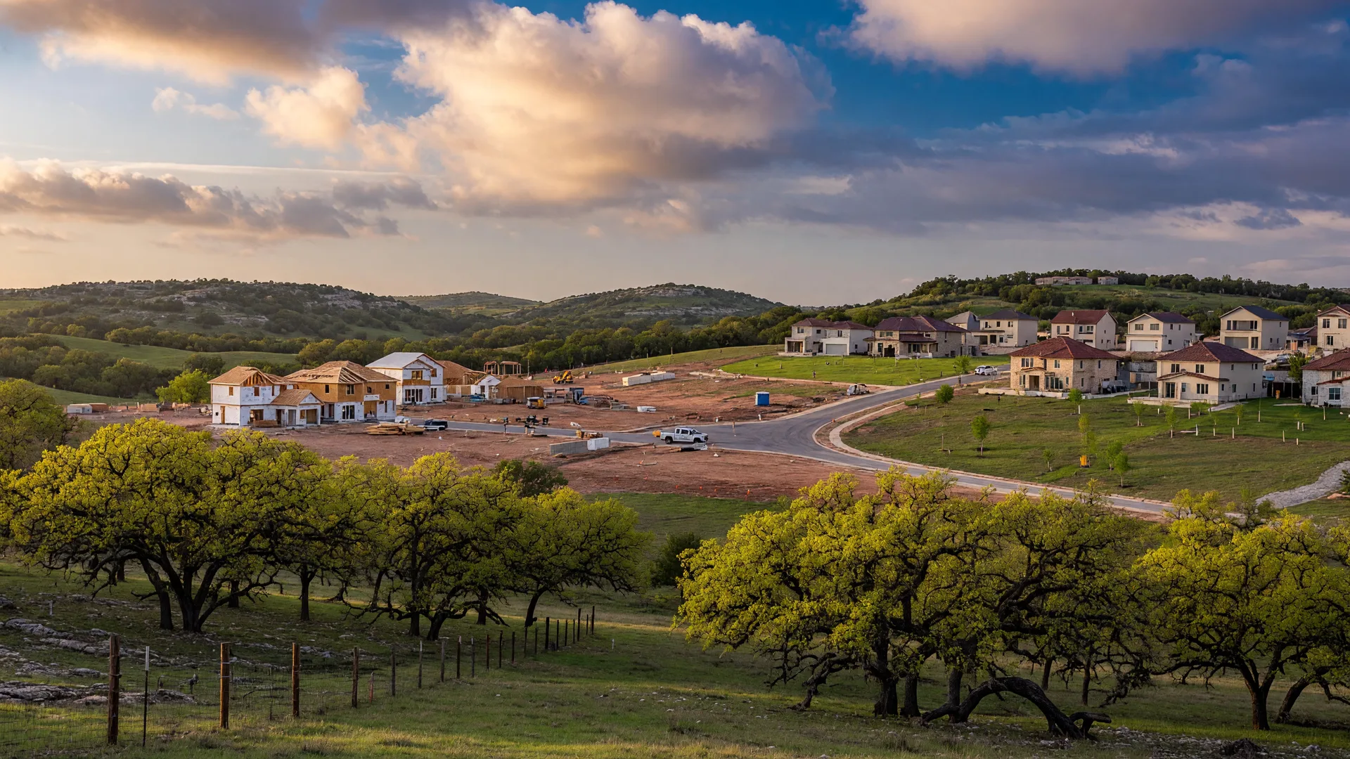
AI-generated illustration of Hill Country landscape transitioning from natural terrain to developed areas.
The Numbers Behind the Growth
Population Growth
Boerne's population growth has been remarkable:
Boerne and Kendall County Population Growth
| Year | Boerne | Kendall County |
|---|---|---|
| 2010 Census | 10,471 | 33,410 |
| 2020 Census | 17,850 | 44,279 |
| 2025 estimate | 24,047 | 53,289 |
Source: U.S. Census Bureau QuickFacts. The 2010 and 2020 figures are April 1 decennial census counts. The 2025 figures are Vintage 2025 annual population estimates for July 1, 2025. The reported 2020-2025 percentage changes use the Census Bureau's April 1, 2020 population-estimates bases — 17,865 for Boerne and 44,301 for Kendall County — not the slightly different 2020 decennial counts. Annual estimates are subject to revision.
The Census Bureau reports that Boerne's 2025 estimate was 34.6% above its April 2020 population-estimates base. Kendall County's increase over the same period was 20.3%. Estimates are revised as new information becomes available, so they should not be mixed with older projections without identifying the source and vintage.
The Boerne-Kendall County Economic Development Corporation lists projected 2024-2029 growth of 16.1% for Boerne and 15.9% for Kendall County. These are projections based on the EDC's underlying demographic dataset, not Census Bureau forecasts [3].
How Does Kendall County Compare?
Kendall County's growth rate is notable but not unique among Hill Country counties. For context:
Hill Country County Growth Comparison
| County | 2010 Census | 2020 Census | Growth |
|---|---|---|---|
| Kendall | 33,410 | 44,279 | 32.5% |
| Comal | 108,472 | 161,501 | 48.9% |
| Guadalupe | 131,533 | 172,706 | 31.3% |
| Hays | 157,107 | 241,067 | 53.4% |
Sources: U.S. Census Bureau QuickFacts for Kendall, Comal, Guadalupe, and Hays counties. Data type: April 1 decennial census counts for 2010 and 2020. Growth percentages are calculated as (2020 population - 2010 population) / 2010 population. No annual population estimates are used in this table.
Kendall County's 32.5% growth during the decade was substantial, although it was lower than the rates in Comal and Hays counties and close to Guadalupe County's rate [13][14][15]. The comparison establishes that growth is regional. It does not establish that infrastructure has kept pace, that one county's growth is "healthier," or that property values will respond in the same way.
How to Read Local Home-Price Data
Home-price data in this corridor requires careful labeling. Boerne city limits, Boerne mailing addresses, Fair Oaks Ranch, ZIP codes 78006 and 78015, and Kendall County do not describe the same market. Monthly medians can also move sharply when a relatively small number of high-end or entry-level homes close. For that reason, any comparison should identify the exact geography, property type, period, number of closed sales, and whether new construction is included.
Because this article does not present a current MLS price table, it does not assign a single median price or appreciation rate to the entire corridor.
Loop 1604 and the I-10 Corridor: Related but Different Projects
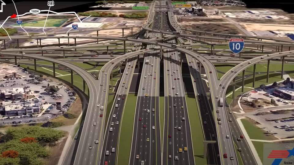
TxDOT describes the Loop 1604 North Expansion as a $1.4 billion, 23-mile program divided into six construction segments between SH 16 and I-35. The program expands portions of Loop 1604 from four mainlanes to 10 mainlanes, including one high-occupancy-vehicle lane in each direction, and replaces the former I-10 cloverleaf with a five-level directional interchange.
What Is Being Built
- Expansion of Loop 1604 from four to 10 mainlanes with HOV lanes
- A new five-level stack interchange at the I-10 intersection
- Improved frontage roads and access points
- Bicycle and pedestrian improvements
Timeline and Status
Loop 1604 North Expansion Construction Segments
| Segment | Route | Cost | Estimated Completion |
|---|---|---|---|
| 1 | SH 16 to I-10 | $181 million | 2026 |
| 2 | Loop 1604/I-10 interchange | $463 million | TxDOT segment page lists 2028; March 2026 update reports approximately 70% complete with expected full interchange completion in 2027 |
| 3 | I-10 to US 281 | $279 million | 2026 |
| 4 | US 281 to Redland Road | $205 million | 2028 |
| 5 | Redland Road to Judson Road | $169 million | 2028 |
| 6 | Judson Road to I-35 | $182 million | 2029 |
What This Means for Home Values
The interchange should improve regional connectivity, but the effect on a particular home depends on location. Better access to employment and retail can broaden buyer demand. Homes immediately affected by added traffic, road noise, lighting, altered access, or nearby commercial development may experience a different result. Infrastructure spending is relevant context, not a guarantee of appreciation.
More Directly Relevant: I-10 Construction Through Kendall County
For Boerne and Fair Oaks Ranch, TxDOT's active I-10 projects may have a more immediate day-to-day effect than work farther east on Loop 1604. TxDOT lists multiple sections between SH 46, Scenic Loop Road, the Kendall-Bexar county line, Fair Oaks Parkway, Ralph Fair Road, and La Cantera as under construction [17][18]. The Kendall Extension includes converting two-way frontage roads to one-way operation, constructing an overpass and frontage-road bridges at Balcones Creek Road, replacing or reconfiguring the US 87 and SH 46 interchanges, and changing entrance and exit ramps. Buyers and sellers should examine the project schematic closest to the property rather than treating "I-10 improvements" as one uniform benefit.
TxDOT projects that daily traffic demand along the Loop 1604 North corridor could double to approximately 290,000 vehicles by 2040 [26].
The final of the eight flyover ramps opened in February 2026. In a March 4 update, TxDOT reported that the interchange overhaul was approximately 70% complete and expected full interchange completion in 2027. That date applies to the interchange, not the entire six-segment Loop 1604 North Expansion program.
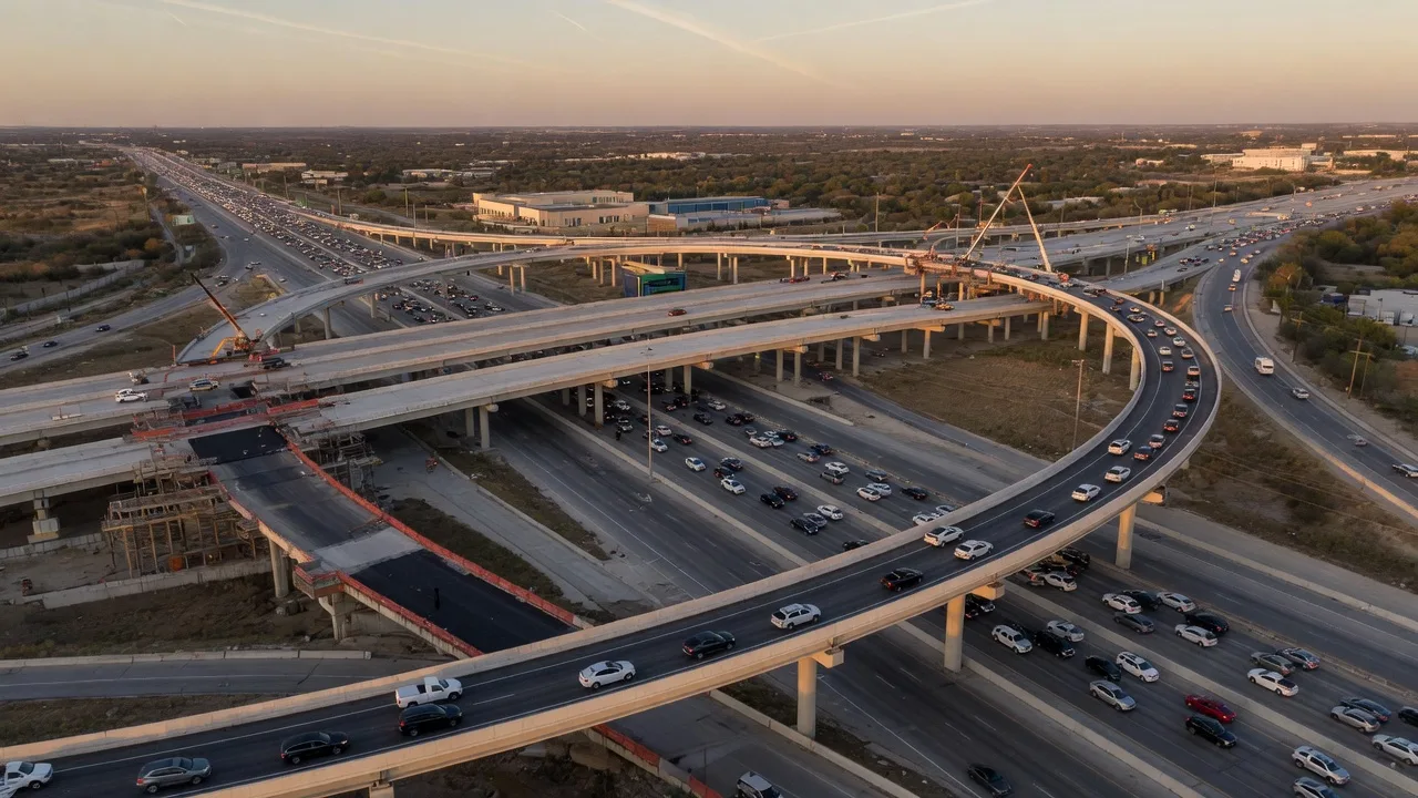
AI-generated illustration of the Loop 1604 and I-10 interchange with flyover ramps.
Water: The Critical Constraint
Current Supply
Water is the most consequential infrastructure challenge in the Hill Country. Boerne's water supply comes from a combination of surface sources (Boerne City Lake and Canyon Lake via GBRA) and groundwater wells. Roughly three-quarters of the city's water comes from surface sources combined, with the remainder from groundwater wells [6].
Water service follows utility territories and individual property conditions, not simply city limits or property type. Boerne obtains water from Boerne City Lake, nine groundwater wells, and treated Canyon Lake water purchased through GBRA. Fair Oaks Ranch uses both city groundwater wells and a wholesale GBRA connection. Some unincorporated properties use private wells, while others are served by water-supply corporations, utility districts, or other providers. A buyer should verify the provider in writing rather than assuming that a Boerne or Fair Oaks Ranch mailing address determines the source.
Recent drought conditions demonstrated how quickly reservoir and groundwater conditions can change. Canyon Lake fell substantially below its conservation-pool level during the multiyear drought, but heavy rainfall brought it back to 100% of conservation capacity by August 16, 2026. Boerne City Lake was also listed slightly above its normal full level on August 14. Those recoveries are important, but one wet period does not eliminate long-term planning needs.
Water restrictions do not move in lockstep across the corridor. As of August 16, 2026, Boerne Utilities remained in Stage 2 [19], while Fair Oaks Ranch had moved to Stage 1 effective August 1 after Canyon Lake refilled [21]; Fair Oaks Ranch noted that the Trinity Glen Rose Groundwater Conservation District remained in Stage 2 while groundwater levels stabilized. The practical lesson for a buyer is to verify the actual water provider and its current drought stage for the address.
Projected Demand
A 2011 GBRA planning study projected substantial long-term increases in Kendall County water demand. That report remains useful as historical evidence that the constraint was recognized years ago, but its numerical forecasts should not be treated as current. The adopted 2026 Region L Regional Water Plan is the appropriate current planning reference.
GBRA's WaterSECURE Proposal
GBRA has proposed the WaterSECURE regional water supply project, an early-development project involving proposed pipelines, treatment, storage, and new firm supply. Its eventual benefit to a particular community depends on permits, financing, construction, and participation or purchase commitments by individual utilities [10].
What Buyers and Sellers Should Watch
- Canyon Lake levels during drought conditions
- City of Boerne water restriction stages (Boerne Utilities remained in Stage 2 as of August 16, 2026)
- GBRA infrastructure project progress
- New development approvals and their water-service requirements
- Groundwater-district rules and aquifer conditions applicable to the specific well
Most private wells in Kendall County draw from formations within the Trinity Aquifer and fall under the Cow Creek Groundwater Conservation District. Depending on location, other corridor properties may fall within the Trinity Glen Rose or Comal Trinity groundwater districts. The Edwards Aquifer Authority should be listed only when the property and water source are actually within its jurisdiction.
For a private-well property, obtain and review: well log and drilling records, well depth and aquifer formation, static and pumping water levels, a recent flow or yield test, water-quality testing, storage-tank and treatment equipment, shared-well agreements if applicable, groundwater-district registration or permit records, and nearby well trends and current drought-stage rules.
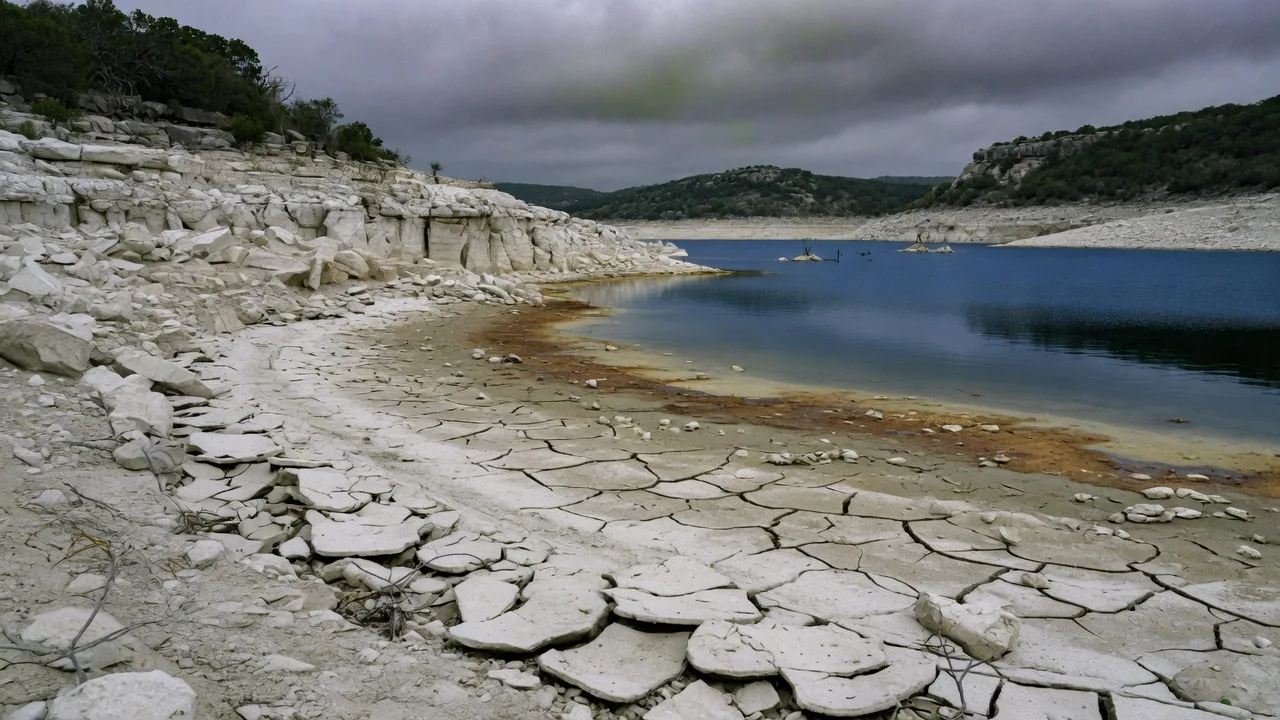
Historical/illustrative drought conditions. This image does not show the August 2026 lake level; Water Data for Texas reported Canyon Lake at 100% of conservation capacity on August 16, 2026.
School Capacity: Growing Fast
Boerne ISD Enrollment
Boerne ISD has experienced explosive enrollment growth:
Boerne ISD Enrollment Growth
| Year | Enrollment |
|---|---|
| 2016 | approximately 7,900 students |
| 2025 TEA accountability | 11,041 students |
| 2026 | 11,179 students |
| 2033-34 planning range | approximately 15,500-17,700 students |
Sources: Texas Education Agency accountability data, Texas Tribune Schools Explorer, and Boerne ISD's May 2025 facilities-planning discussion as reported by Community Impact. Historical and current enrollment figures are state/district reporting counts. The 2033-34 figures are planning projections published in 2025, not current enrollment and not Census Bureau estimates.
Enrollment has grown substantially over the past decade, but recent forecasts have been revised downward from earlier projections. Current planning shows uneven campus pressure rather than every campus filling at the same time.
Viola Wilson Elementary, Boerne ISD's eighth elementary campus, opened in 2024. In the district's May 2025 planning discussion, much of the projected elementary growth was concentrated on the western side of the district, including Viola Wilson. Facilities planning and any future expansion decisions belong to Boerne ISD, not to the individual campus.
Capacity Challenges
Projections show elementary, middle, and high school campuses reaching capacity over the next 10 years. Boerne Middle School North is one campus expected to hit capacity with no room for expansion on its current site [11].
What This Means for Families
- Boerne ISD received an A with an overall score of 92 in the 2026 TEA accountability ratings. Campus-level ratings may differ from the district rating, so families should check the assigned campus.
- District-wide enrollment has grown, but campus-level capacity pressure varies. Some campuses may be near capacity while others have room.
- Future bond elections and any attendance-boundary changes are decisions of the Boerne ISD Board of Trustees and should not be assumed from enrollment trends alone.
- Families should verify assigned campuses, enrollment, and ratings at the campus level rather than relying on the district name or a single district-level score.
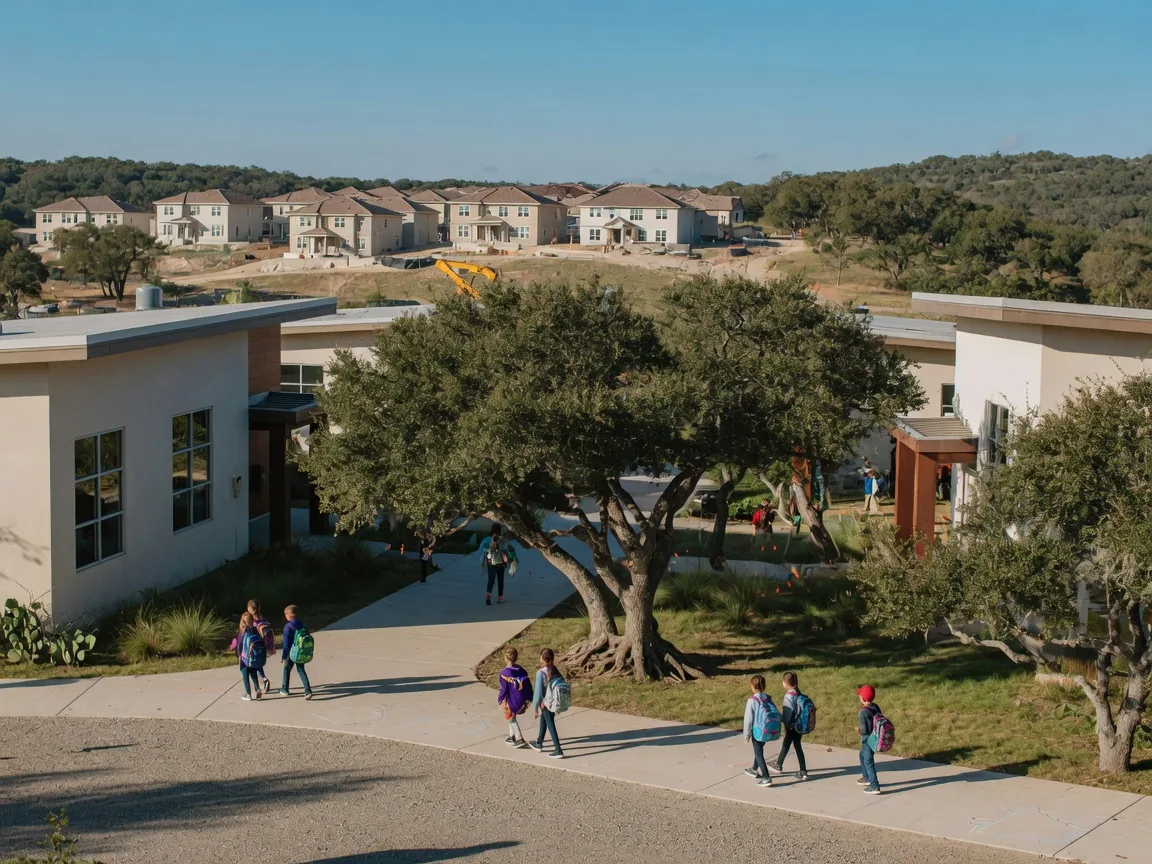
AI-generated illustration of a modern elementary school campus in Boerne ISD.
Traffic: The Daily Reality
Current Conditions
Traffic has become a key concern for Boerne residents. The city's population increased from 10,471 in 2010 to an estimated 24,047 in 2025, putting significant pressure on SH 46, I-10, and local roads.
What Is Being Done
- Loop 1604 North Expansion (discussed above) is adding capacity along the northern portion of San Antonio's circumferential highway, including the major east-west segment across north Bexar County.
- I-10 Kendall Extension: converting two-way frontage roads to one-way, reconstructing the US 87 and SH 46 interchanges, and building a new overpass at Balcones Creek Road
- The Fair Oaks Parkway-to-Ralph Fair Road project is listed by TxDOT as complete. Active I-10 expansion continues from Ralph Fair Road to La Cantera, while Kendall Extension work remains under construction north of Fair Oaks Parkway.
- I-10 frontage-road and access improvements between Scenic Loop Road and the Kendall-Bexar county line
What to Watch
- I-10 Kendall Extension progress (interchange reconstruction, frontage-road conversions)
- Loop 1604 work by segment: the eight I-10 interchange flyovers are open, but remaining interchange work is expected through 2027; TxDOT's segment page lists Segments 4 and 5 through 2028 and Segment 6 through 2029.
- New development traffic impact studies
- Commute times from Boerne/Fair Oaks Ranch to San Antonio employment centers
How Growth Reaches the Value of an Individual Property
Countywide growth does not arrive at every front door in the same way. In practice, buyers do not pay more for a house merely because a regional agency announced a large project. They respond to the property's commute, road noise, school assignment, water source, taxes, condition, monthly payment, and surrounding land uses.
How Development Factors Affect a Property
| Factor | Potential Benefit | Potential Downside | What to Verify |
|---|---|---|---|
| Regional road access | Shorter commute, broader buyer pool | Road noise, traffic, altered access patterns | Proximity to major roads, traffic count data, TxDOT project plans |
| New retail / mixed-use | Convenience, walkability, tax base growth | Noise, lighting, traffic, character change | Zoning, approved projects, development timeline |
| New residential construction | Higher density supports services and retail | Direct competition with resale, construction disruption | Builder incentives, absorption rate, future phases |
| Water infrastructure | Service reliability, development capacity | Cost of connection, district debt | Provider, current drought stage, infrastructure plans |
| School facilities and assignments | Updated facilities or additional capacity may be important to some buyers | Bond debt service, construction disruption, or attendance-boundary changes | Assigned campuses, campus-level enrollment and ratings, adopted boundaries, bond history, and funded — not merely proposed — projects |
| Established neighborhood | Mature trees, larger lots, stable character | Older systems, fewer modern finishes | Comparable sales, deferred maintenance, HOA rules |
The Bull Case
Several factors support continued appreciation:
- Infrastructure investment: The $1.4 billion Loop 1604 project signals long-term government commitment to the corridor
- Population growth: Census Bureau estimates show cumulative growth of 34.6% for Boerne and 20.3% for Kendall County between the April 2020 estimates base and July 2025. Separately, the Boerne-Kendall County EDC projects cumulative 2024-2029 growth of 16.1% for Boerne and 15.9% for Kendall County. These are cumulative figures for different periods, not evidence of a consistent 4%-5% annual rate.
- School quality: Boerne ISD received an A with an overall score of 92 in the 2026 TEA accountability system and remains a major draw for families
- Development constraints: Limestone, slope, drainage, environmental features, road access, and the reach of water and wastewater infrastructure can raise the cost of developing some tracts.
- San Antonio access: The completed flyovers and remaining interchange work are intended to improve capacity and mobility at a regional bottleneck. The effect on a Boerne or Fair Oaks Ranch commute will still depend on the trip destination, time of day, congestion elsewhere on I-10, and construction on the Kendall Extension.
The Bear Case
Risks to watch:
- Water constraints: Canyon Lake levels and GBRA infrastructure timelines are critical
- School overcrowding: Rapid enrollment growth could strain resources before new schools open
- Traffic congestion: Loop 1604 completion is years away; daily commute pain is real now
- Property taxes: Growth requires infrastructure investment, which is funded partly through property taxes
Growth-related infrastructure is funded in different ways. Boerne ISD facilities may be financed through voter-approved bonds supported by the district's interest-and-sinking property-tax rate. TxDOT projects rely on state and federal transportation funding. City and county improvements may involve property taxes, sales taxes, utility revenue, impact fees, developer-funded improvements, or special districts. A growing population does not automatically mean that every adopted tax rate rises, although a homeowner's bill can still increase when taxable value or an adopted tax rate rises, an exemption changes, or a separate assessment applies. Additional debt may influence a taxing unit's future interest-and-sinking rate, but debt by itself is not a line-item increase on an individual tax bill.
Boerne ISD voters approved $175 million in bonds in 2016 and $165.64 million in 2022 [27]. For a buyer, the relevant figure is not simply the headline bond amount. It is the property's combined current tax rate, taxable value, exemptions, any MUD or PID obligations, and the applicable district debt-service rate.
Texas Local Government Code Chapter 42, Subchapters D and E, provides petition and election procedures through which certain owners or residents may seek release of qualifying land from a municipality's ETJ [25]. Statutory exclusions apply, so the status of a particular tract and any completed release should be verified from municipal and county records. An ETJ release can change which municipality reviews plats or subdivision infrastructure, but it does not eliminate county subdivision rules, floodplain requirements, groundwater-district authority, utility requirements, deed restrictions, or state law. Municipal zoning ordinarily does not apply in an ETJ in the first place. For a nearby tract, the relevant questions are its current jurisdiction, approved or pending plats, utility commitments, access, drainage plan, and permitted use — not ETJ status by itself.
New Construction Changes the Resale Calculation
When I price a resale near new construction, I do not compare list price with list price. I compare the buyer's effective package. A builder may advertise a lower interest rate, closing-cost assistance, upgrades, or a temporary buydown, but the offer may require the builder's affiliated lender or title company and may apply only to selected homes. The resale may offer a larger lot, mature trees, completed landscaping, window coverings, appliances, an established tax history, or a location with less ongoing construction.
For a resale seller, the question is not whether the home is "flawless." It is whether its price, condition, and ownership costs give the buyer a credible financial reason to choose it over the builder's package. Depending on the property, the response may involve repairs, a closing-cost credit, a rate buydown, improved presentation, or a lower initial price. The correct strategy comes from comparing total cost and monthly payment — not from assuming that new and resale homes compete on price alone.
The Property-Level Perspective
My view is that continued growth can support long-term demand along the corridor, but it does not immunize an individual home from overpricing, poor adjacency, water concerns, or direct competition from new construction. Buyers should not pay today as though every proposed road or water project were already complete. Sellers should not price from future growth projections when current buyers are comparing monthly payments and active alternatives. The best-positioned properties will generally be those that combine reasonable access, a dependable and understood water source, a verified school assignment, manageable ownership costs, and protection from the most disruptive effects of nearby development. Growth creates opportunities, but it also creates winners and losers at the property level.

AI-generated illustration of growth indicators and risk factors for the Boerne corridor.
The Property-Level Checks I Would Make
Before drawing a conclusion about growth and value, I would ask these questions about the specific property:
- What is the water source and provider, and what is the current drought restriction stage? Reliable water is the single most important infrastructure factor in the Hill Country. A home on a municipal system with a secure supply and a history of conservative management is different from a home on a private well in a stressed aquifer or a district with unresolved supply planning.
- What is the property's actual school assignment? Not the district reputation, but the specific elementary, middle, and high school. Verify with the district, not a map site.
- How does the commute actually work? Drive it during peak hours on a weekday. A 20-minute map estimate can be 45 minutes at 8 a.m. Construction associated with the I-10 frontage-road conversions and the reconfiguration of the I-10/US 87/SH 46 interchange can affect current travel times and access patterns.
- Is the property's tax situation clearly understood? Identify every taxing unit: county, city or municipality, school district, hospital district, emergency services district, water district or MUD, WCID, and any PID or special assessment. A PID can add a separate annual assessment that does not appear in the adopted tax rate. Verify with the appraisal district or county records, not by asking a neighbor. The tax bill on a property in a PID or a MUD can differ substantially from the tax bill on a nearby property outside that district.
- Is the property in a floodplain, and what is the drainage plan on and around the lot? Upstream development can change runoff patterns, although approved projects are generally required to address drainage under the rules applicable to that jurisdiction. A FEMA flood-zone designation, current survey, elevation information, drainage plans, observed flow paths, prior flood history, and — when warranted — an engineer's site-specific evaluation answer different questions. No survey or approved drainage plan should be treated as automatically more important than the FEMA designation.
- What is the current condition of major systems? Roof age, HVAC age, foundation status, plumbing, and electrical. On a well-and-septic property, add well yield, water quality, and septic system age and last inspection.
- What permitted or approved development exists within a quarter-mile? Not what is rumored, but what has been applied for, platted, or approved by the relevant jurisdiction.
- Is the property subject to deed restrictions, HOA covenants, or utility easements that affect its use or future marketability? Restrictions can be an asset (consistent standards) or a liability (special assessments, no livestock, age restrictions) depending on the buyer pool.
- How does the property compare with active and recent listings in its immediate geography, not just its ZIP code? Two homes in the same ZIP but different subdivisions, school assignments, or water providers are not direct comparables.
- What would the monthly payment be at current rates, including taxes, insurance, and any HOA or PID fees? Payment shock from any of these components can limit the buyer pool more than the purchase price alone.

AI-generated illustration of a buyer and seller watch list for Hill Country property indicators.
Early Indicators to Watch
For Buyers
- Water restriction stages (higher stages signal supply stress)
- As of August 16, 2026, Boerne Utilities remained in Stage 2; Stage 3 was not in effect. Under the City's currently posted Stage 3 rules, sprinkler irrigation is permitted on the assigned weekday once every other week, from 7-11 a.m. and 7-11 p.m. Hand watering with a hose or bucket is allowed at any time. Because drought-stage initiation can depend on multiple supply and operational criteria, buyers should consult the City's current restriction notice and governing ordinance rather than relying on a single reservoir threshold.
- School enrollment reports (capacity projections, bond elections)
- TxDOT project updates (Loop 1604 completion, I-10 Kendall Extension work)
- New development approvals and building permits
- Property tax rate changes
For Sellers
- Days on market (DOM), reviewed monthly using San Antonio Board of REALTORS MLS data for the same geography, property type, and price range
- Inventory levels (supply vs. demand balance)
- Price reduction frequency
- New construction competition (production builders offering incentives)
- Interest rate environment
Frequently Asked Questions
Is the Loop 1604 interchange going to make Boerne more expensive?
The interchange may support regional accessibility, but it cannot guarantee higher prices in Boerne or Fair Oaks Ranch. See the section on Loop 1604 and I-10 projects for how road access, traffic, and development affect individual property values. Market conditions, mortgage rates, inventory, and the characteristics of the individual property remain more immediate pricing factors.
Will water restrictions hurt home values in Boerne?
Routine drought restrictions alone do not prove that a home has lost value, but they should not be dismissed as irrelevant. The Water section above explains the provider landscape, restriction stages, and what buyers should verify. A buyer should check the current drought stage for the specific address and investigate well performance separately when applicable.
Are schools going to be overcrowded?
Boerne ISD continues to plan for long-term growth. The School Capacity section above covers enrollment trends, campus-level pressure, and what families should verify before making an offer.
Does current growth make this a good time to buy?
No responsible answer can be given for the entire Hill Country corridor. A buyer with a multiyear ownership horizon may benefit from greater inventory, seller negotiation, and long-term regional investment. That does not make every listing a good purchase. The decision should be based on the property's price relative to comparable sales, expected ownership period, financing, water and infrastructure risks, and the buyer's ability to carry the home without relying on rapid appreciation.
What should I watch if I am thinking about selling?
Do not assume that the current market uniformly favors sellers. Measure the property's direct competition, including builder inventory and incentives, and examine days on market, price reductions, sale-to-original-list-price ratio, and closed-sale volume in the same price band. A properly prepared home can still sell well, but the initial price must reflect the choices buyers have today.
Related Reading
Boerne Property Tax Guide
Rates, exemptions, and how to navigate property taxes in the Hill Country.
Read GuideBoerne Housing Market Update
Home values, price trends, and inventory data for the Boerne market.
Read ReportIs Boerne TX Safe?
Crime statistics, neighborhood safety, and community information.
Read GuideBoerne Relocation Guide
Housing, schools, commute, and lifestyle for families relocating to Boerne.
Read GuideNew Construction vs. Resale
Comparing new construction and resale homes in the Hill Country.
Read GuideBoerne vs. Fair Oaks Ranch
Community comparison for home values, schools, and lifestyle.
Read GuideExternal resources: California to Texas Relocation Timeline and Cost of Living Comparison.
Data That Can Change After Publication
This article was last verified on October 6, 2026. Population estimates, drought stages, school forecasts, construction schedules, builder incentives, and housing-market statistics can change quickly. Before relying on a time-sensitive figure, check the dated source linked in the applicable section.
Sources
- U.S. Census Bureau QuickFacts, Boerne city, Texas (Vintage 2025 population estimates). census.gov
- U.S. Census Bureau QuickFacts, Kendall County, Texas (Vintage 2025 population estimates). census.gov
- Boerne-Kendall County Economic Development Corporation, Area Demographics. bkcedc.com
- TxDOT, Loop 1604 North Expansion Program Overview. txdot.gov
- TxDOT, Loop 1604 North Expansion Project Segments. txdot.gov
- City of Boerne Utilities, Water and Wastewater FAQ. ci.boerne.tx.us
- City of Boerne, Water and Wastewater — municipal supply from Boerne City Lake, nine groundwater wells, and treated Canyon Lake water purchased through GBRA. ci.boerne.tx.us
- City of Boerne, Boerne City Lake Park and current lake information. ci.boerne.tx.us
- GBRA, Kendall County Water and Wastewater Planning Study (2011 historical planning document). gbra.org
- San Antonio Express-News, GBRA $6 Billion Water Supply Plan. expressnews.com
- Community Impact, "Boerne ISD reviews enrollment projections over next 10 years," published May 20, 2025. communityimpact.com
- Texas Tribune Schools Explorer, Boerne ISD. schools.texastribune.org
- U.S. Census Bureau QuickFacts, Comal County, Texas (Vintage 2025 population estimates). census.gov
- U.S. Census Bureau QuickFacts, Guadalupe County, Texas (Vintage 2025 population estimates). census.gov
- U.S. Census Bureau QuickFacts, Hays County, Texas (Vintage 2025 population estimates). census.gov
- TxDOT, Looking Back on a Month of Progress in February, March 4, 2026 update. txdot.gov
- TxDOT, I-10 Projects, San Antonio District (Guadalupe, Bexar, Kendall and Kerr counties). txdot.gov
- TxDOT, I-10 Kendall Extension (SH 46 to Fair Oaks Parkway). txdot.gov
- City of Boerne, Current Water Restrictions. ci.boerne.tx.us
- Water Data for Texas, Canyon Lake Reservoir Levels. waterdatafortexas.org
- City of Fair Oaks Ranch, "City of Fair Oaks Ranch transitions to Stage 1 of the Drought Contingency Plan," posted August 3, 2026; Stage 1 effective August 1, 2026. fairoaksranchtx.org
- Cow Creek Groundwater Conservation District, Kendall County. ccgcd.org
- Texas Water Development Board, 2026 Regional Water Plans (Region L adopted plan). twdb.texas.gov
- Boerne ISD, Viola Wilson Elementary. boerneisd.net
- Texas Local Government Code Chapter 42, Extraterritorial Jurisdiction of Municipalities. statutes.capitol.texas.gov
- TxDOT, Loop 1604 North Expansion Project Brochure, April 2024 (projected 2040 daily traffic demand). txdot.gov
- Boerne ISD, Bond Program Information (2016 and 2022 bond elections). boerneisd.net
This article provides general information about growth and development in the Boerne, Fair Oaks Ranch, and Hill Country corridor. Market conditions, infrastructure timelines, and development plans can change. Consult local sources and professionals for current information.
Get current data for the area you are considering
Whether you are buying or selling along the I-10 corridor, I provide current market data, infrastructure context, and neighborhood-specific guidance. No fluff. Just the information that drives good decisions.
Contact Bill Ross